GIS and Data Analytics – The Business Risk Mitigation Duo
When combined with data analytics, GIS (geographic information system) technology can provide insights into physical risks that may present material risks to lenders and investors. As the USC Dornsife Spatial Sciences Institute points out,
“Historically, the largest adopters of geospatial data have been government agencies, [but] it’s now easy to find widespread GIS adoption in every business sector.”
In part, this is due to the increased availability of cloud-based GIS platforms, which have begun to make sense during the shift to digitization in the financial realm. Cloud-based GIS platforms are less costly and require less hardware to operate than in-house software.
GIS and data analytics are now relied-upon tools for risk mitigation across many business sectors, including the agricultural industry, where they can be used to perform ongoing risk assessments using continuously updated information that would otherwise be locked in various disparate sources.
This post will look at GIS and data analytics as powerful risk mitigation tools, especially when it comes to climate risk and water security in agriculture.
How GIS Benefits Ag Professionals
The Spatial Sciences Institute identifies six major industries that can benefit from GIS, including supply chain management, insurance, banking, forestry, and urban planning. The agricultural sector overlaps or is connected with nearly all of these industries, and GIS can play a key role in mitigating risk for lenders, investors, ag banks, and farmers alike.
For example, ag banks can use GIS to access water risk information and assess the validity of a farming operation’s water sources before investing in a farming operation or parcel of farmland. Farmers can use GIS and data analytics to make better decisions about which crops to plant and how to irrigate them to maximize water efficiency.
The most powerful thing about GIS, though, is the ability to combine multiple sets of data and customize them for different purposes. While traditional charts and records may show a portion of the overall risk equation – if they are even kept current – GIS software can display several layers of data, put into the context of what is material to ag lenders’ portfolios.
GIS and data analytics allow financial institutions to aggregate granular, local data, thus creating a truthful bigger picture.
In agriculture, this data can include everything from historical drought and rainfall data, to real-time data from satellites, drones, and field sensors monitoring water use, crop health, and soil quality. Users can zoom in and out, or add and remove layers, to see how all of this granular data fits together, telling the risk story of lending portfolios.
Finally, ag professionals can share this data with other stakeholders to ensure that all parties are on the same page about climate and water risks. All stakeholders can therefore pool their perspectives to develop mitigation strategies together, making them more effective.
The Benefits of GIS and Data Analytics in Water Risk Mitigation and Competition
Risk mitigation has become a growing concern for investors, regulators, and financial institutions in the age of climate change and water risk. While agriculture has always been at risk of drought and extreme weather conditions, recent developments paint a dire picture of water scarcity in the U.S. One study suggests that water usage along the Colorado River will have to drop by 40 percent to remain sustainable by 2050.
Risk Mitigation
By factoring water risk data into loans and land deals, ag professionals can mitigate financial risk while also supporting the transition to a water-resilient future. The risk assessment process includes four steps:
- Identify
- Understand
- Monitor
- Mitigate
With its unique ability to integrate disparate datasets into a cohesive whole, GIS is one of the most powerful tools that ag professionals have to understand water risk.
Regulatory Compliance
Using GIS and data analytics in agriculture isn’t just an aid to business – it may also help organizations meet regulatory requirements in the years to come. These include regional regulations like SGMA, which governs water use in California groundwater districts, as well as ESG reporting requirements and climate-related disclosures.
By understanding the climate and water risks that are material in their portfolio now, ag professionals will already have the data they need to comply with new sustainability reporting regulations.
Competitive Advantage
As interest in sustainable investments is growing, companies that prioritize ESG goals are more appealing to investors. The Harvard Business Review outlines one fund’s strategy of “building a portfolio of companies that have a carbon footprint 50% smaller than benchmarks and have 50% less exposure to stranded assets.”
As market trends shift toward a demand for sustainability in both investing and practices, GIS tools can help companies stand out by providing the hard data needed to truthfully back up ESG claims.
Additionally, companies with better data will be better prepared to foresee climate risks and be proactive in mitigating risks and vulnerabilities in their supply chains.
Water Resiliency
Finally, using GIS data to inform agricultural decisions is simply good for the planet. It can help growers root out inefficiencies in their irrigation systems, reduce the carbon footprint of water, and protect ecosystem services that benefit both the economy and the environment. Access to better data means more effective decisions, smarter water markets, and a more resilient agricultural system.
The increased availability of GIS software is making this data more shareable, more transparent, and more accessible to all users. It’s this type of collaboration between stakeholders that’s the foundation of all effective sustainability practices.
The Bottom Line
GIS tools can be a powerful resource for agricultural professionals – especially when combined with data analytics. GIS can be used to monitor risk across supply chains, from physical risks like water scarcity to legal and reputational risks as more regions implement ESG reporting requirements and climate-related disclosures.
Most importantly, using GIS and data analytics to assess and monitor risk means that stakeholders at all levels can work from a single source of truth to make more informed decisions about physical and material risks. Properly valuing natural and social capital is key to mitigating financial risk and protecting the longevity of agricultural investments.
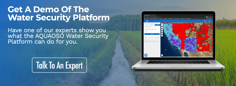
Contact the team to start a conversation about water security issues, or schedule a free demo to see the Water Security Platform up close.
Recent Posts
Agcor and AgWare Celebrate 2 Years of Groundbreaking Integration, Setting the Standard in Agricultural Appraisal Efficiency
PRESS RELEASE For Immediate Release DENVER, March 21, 2024 -- Agcor, an AQUAOSO Technologies, PBC brand, a leading provider of agricultural lending software solutions, announces a significant milestone in its partnership with AgWare, a premier developer of innovative...
AQUAOSO launches Agcor – a full suite of digital tools for the modern ag lender.
PRESS RELEASE For Immediate Release Denver, CO - Today, AQUAOSO Technologies, PBC officially unveiled Agcor™ - a suite of software tools for the modern ag lender. The software is purpose-built by and for agricultural lenders to unlock the power of...
AQUAOSO’s Climate Intelligence Platform Showcased At OnRamp Conference
PRESS RELEASE For Immediate Release AQUAOSO showcases GIS Connect, a climate intelligence platform that helps US financial institutions mitigate climate risk during the recent OnRamp Agriculture conference. AQUAOSO shares their story of substantial growth as...


