Arizona Water Rights – The Copper State’s Water Rights System
Part of our Water Rights Guide
Arizona is one of the driest states in the U.S., with a high risk of drought and abnormally dry conditions across most of its land area. Even so, Arizona maintains a diverse – and growing – agricultural sector that accounts for up to $23.3 billion in annual revenue. According to a guide to irrigated agriculture from the University of Arizona:
“Arizona provides at least two of the three prerequisites for producing crops: ample sunshine [and] high-quality soils…. Although the desert lacks sufficient rainfall to grow most crops, Arizona’s rivers have supported agriculture for thousands of years, and aquifers in Arizona’s desert valleys hold vast quantities of groundwater.”
Additionally, the director of the Arizona Department of Agriculture (AZDA) explains that, despite its natural limitations, “Arizona acknowledged the water situation decades ago and planned for growth and protected its water resources.” This means that Arizona is heavily reliant on irrigation infrastructure and primarily relies on water from two main sources: the Colorado River, and groundwater reserves. In this article, we’ll take a deep dive into Arizona’s water rights situation, including how you can look up existing water rights and purchase additional rights for agriculture.
Background on Water Rights in Arizona
The Arizona Department of Water Resources reports that the percentage of Arizona’s total water use that goes into agriculture is 68 percent – similar to other regions. But irrigation isn’t just about keeping crops hydrated. According to the University of Arizona analysis, “it is also used to flush accumulated salts from the soil, to increase humidity and lower temperature surrounding crops, and to protect crops from frost.” In short, improving irrigation practices in agriculture will be key to maintaining Arizona’s agricultural economy, as well as shoring up the nation’s food supply.
Water Rights Regulations
Arizona regulates surface water rights based on the doctrine of prior appropriation. This means that the first person to claim a “beneficial use” of the water has the senior right to it. The Surface Water Permitting Unit handles most surface water permits, except for those along the Lower Colorado River, which is governed by an interstate compact. Groundwater is regulated under the Groundwater Management Act (GMA), which was passed in 1980. It designated the regions that are most dependent on groundwater as Active Management Areas (AMAs). These must adhere to conservation and reporting requirements in order to balance the needs of water users going forward.
Irrigation Rights
There are several other designations that determine which water rights are available in each region. Irrigation Non-Expansion Areas are those without sufficient groundwater resources to ensure a reliable supply. Irrigating new land in an INA is prohibited in order to prioritize land that is currently being farmed. Only land that has been irrigated within the five years before the designation can still be used for agriculture. Some parcels of land may have an Irrigation Grandfathered Right (IGFR), which is granted to lands that were irrigated between 1975 and 1979.
Additional Considerations
Arizona has several systems in place for managing its water resources.
These include:
- Irrigation Districts, which are municipal corporations that distribute water
- Underground Water Storage, Savings, and Replenishment Program, which provides long-term storage credits (LTSC) in return for conserving water
- The Groundwater Permitting and Wells Unit, which maintains a registry of all groundwater wells
- The Central Arizona Project, which manages Arizona’s allocations from the Colorado River, totaling 2.8 million acre-feet each year
Arizona also maintains a Drought Contingency Plan in conjunction with other states that depend on the Colorado River. According to one news report, “Without the new plan in place, existing rules would leave Arizona looking at deep water cutbacks in the coming years. The negotiated rules will leave fewer water users exposed to risk and will help those most affected weather smaller cutbacks.”
How to Confirm a Water Right is Valid
Arizona has a fairly robust system for managing its water resources through AZDWR, which is a step in the right direction when it comes to dealing with water stress in the years ahead. Still, these complex regulations can make it difficult to determine exactly which rights are attached to a piece of land and whether they’re valid for agricultural use.
Remember, some regions have been designated as Irrigation Non-Expansion Areas, so even if groundwater is available on the property, it may not be legal to use. Additionally, junior water rights holders may find themselves facing cutbacks during dry years, as senior rights holders are first in line for limited allocations.
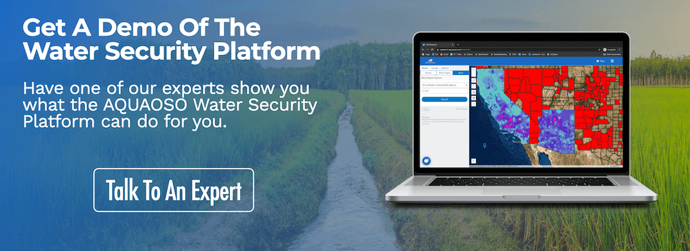
It’s important to get a complete picture of a parcel’s water rights and land-use history in order to determine its overall water risk. Soon, you’ll be able to research existing permits in Arizona using AQUAOSO’s Water Security Platform, which aggregates data from multiple sources in an easy-to-use interface.
You’ll be able to see the boundaries of Active Management Areas, find extensive per-parcel information of land, and more.
How to Find and Purchase Arizona Water Rights
In addition to the Arizona Water Banking Authority, which provides long-term credits for unused water rights, Arizona allows for the private transfer of groundwater rights. It’s the second most active market after California, with a total of 484,000 acre-feet ($69 million) transferred in 2015, most of them in the form of short-term leases rather than sales.
However, finding and trading water rights isn’t a straightforward process. In most states, there are no centralized systems in place to facilitate sales so, in many instances, buyers and sellers have to find each other and negotiate a price themselves. Some regions have begun rolling out smart water markets, which use modern technologies to facilitate transactions.
New water technologies will go a long way toward determining the true price of water and encouraging growers to allocate water resources where they’re needed most.
With watershed maps, water rights information, and water risk data all rolled into one, you can use our rapidly-expanding Water Security Platform to look up water rights and use it to inform your land deals and agricultural investments. While it’s not a transactional marketplace, AQUAOSO is a great example of what these kinds of new technologies and tools could look like.
How to Present a Water Rights Analysis
A report by Ceres found that 77% of the companies they researched factored water risk into their financial filings, but that overall, “food companies need to do more, both faster and more boldly, to meet the challenges posed by the global water crisis, protect their bottom lines and return value to investors.” In drought-prone states like Arizona, water risk is business risk.
You can use water risk data to provide actionable information to lenders and investors.
- Before presenting a land deal, loan officers can research the water rights of the property to ensure that they’re valid and that the water source is reliable.
- Credit officers can bring their water rights analysis to meetings with regulators, to demonstrate that any water risk concerns have been considered and addressed.
- Senior managers can present the analysis to the bank’s board or to investors, pricing water risk directly into the value of the loan.
The true value of water is hard to pin down, but as water scarcity becomes even more of an issue in the American Southwest, getting the full picture of a region’s water risk will allow you to make better land deals and wiser investments. Ultimately, this helps stakeholders at every step of the supply chain – from growers to food distributors – become more resilient and less vulnerable to unforeseen weather events.
You can read our Water Rights Guide to learn more about state-by-state water rights systems and how understanding them benefits your bottom line.
The Bottom Line
The lack of a centralized database is one of the biggest obstacles to water rights trading in Arizona and other parts of the U.S. As AQUAOSO’s Water Security Platform rolls out to more regions, we hope to play an even bigger role in helping investors research and understand water risk. By combining data from multiple resources, we reduce the time and effort it takes to assess a grower’s water risk and close a loan or land deal. Reach out to us directly to find out more about how AQUAOSO can help, or download our free ebooks and other resources to learn more about our approach!
Recent Posts
Agcor and AgWare Celebrate 2 Years of Groundbreaking Integration, Setting the Standard in Agricultural Appraisal Efficiency
PRESS RELEASE For Immediate Release DENVER, March 21, 2024 -- Agcor, an AQUAOSO Technologies, PBC brand, a leading provider of agricultural lending software solutions, announces a significant milestone in its partnership with AgWare, a premier developer of innovative...
AQUAOSO launches Agcor – a full suite of digital tools for the modern ag lender.
PRESS RELEASE For Immediate Release Denver, CO - Today, AQUAOSO Technologies, PBC officially unveiled Agcor™ - a suite of software tools for the modern ag lender. The software is purpose-built by and for agricultural lenders to unlock the power of...
AQUAOSO’s Climate Intelligence Platform Showcased At OnRamp Conference
PRESS RELEASE For Immediate Release AQUAOSO showcases GIS Connect, a climate intelligence platform that helps US financial institutions mitigate climate risk during the recent OnRamp Agriculture conference. AQUAOSO shares their story of substantial growth as...


