The Geospatial Nature of Loan Portfolio Risk

When it comes to assessing loan portfolio risk, the old ways of decision-making simply don’t work anymore. Outdated data management and risk calculation methods don’t take current risk factors into account – such as risks due to climate change – or integrate risk factors into datasets.
Historically, decisions about loan risk have focused solely on the financial risk of a borrower; now, there is a complex web of ESG (environmental, social, and governance) impacts into account.
It is important to note that ESG is a large umbrella term, encompassing local material risks. “ESG” can sometimes be so big a term, that its contents – which can be unique to different stakeholders – are not unpacked. This is where the modern way to make decisions about risk shines.
According to a recent U.N. report on the Climate Risk Landscape: “the tools available to financial institutions that wish to use scenario analysis to reinforce their climate-related risk assessments and disclosures have developed and expanded rapidly.”
Tools include GIS platforms that can help lenders track loan portfolio risk in a way that reflects its geospatial nature. This post will explore the ways these principles apply to financial institutions such as Farm Credits and agriculture lenders.

Past Approaches to Loan Risk Decision-Making
Relying only on the financial risk of the borrower in order to decide whether or not to approve a loan will no longer be sufficient. In many cases, a lack of data on other factors that might impact a borrower’s risk, such as environmental, policy, and social risk factors.
But as pressure continues to mount on banks and other financial institutions to disclose climate-related risks, this data is becoming more important to have. Institutions that don’t integrate this data into their decisions will be less competitive than those that do. The old ways of decision-making can lead to risky situations.
For example, the Environmental Defense Fund points out how historical approaches to loan decision-making in the agricultural sector haven’t caught up to today’s reality:
“Current loan offerings generally do not align with the financial attributes of conservation practices, creating challenges for farmers who use or are considering adopting these practices. A particular challenge is the short-term focus of annual farm operating loans, which do not incorporate the value of longer-term cost savings or risk reductions.”
By taking a proactive, geospatial data-rich approach to decision-making, ag finance institutions can reduce portfolio risk and improve the financial security of their businesses and the agricultural industry as a whole.
Factors That Call For A New Kind of Decision-Making
There are several factors that are contributing to a change in the way banks approach decision-making, from a desire on the part of fintech and banks to improve their green bona fides, to an increased focus on sustainability and resiliency in the face of climate change.
The new ways of determining loan portfolio risk include:
- Financial
- Environmental
- Social
- Governance
Financial risk now involves a combination of natural, social, and financial factors, which must be included in every lending decision. Not only do these kinds of risk assessments protect lenders in the short term, but they also make it more likely that a lending decision will be beneficial in the long run, improving a portfolio’s long-term ROI.
As UNICEF notes in their report Charting a New Climate:
“Some banks have reported that borrowers are already being affected by climate and weather events, and these effects provide early signals of a changing climate, and empirical evidence which may help to calibrate forward-looking physical climate risk assessments.”
Being aware of these risks now, and being able to account for them proactively, can give lenders and investors an edge when assessing overall portfolio risk. In addition, having the ability to calibrate these risk factors based on a borrower’s specific location and associated climate risk can provide even more accurate, data-driven insights.
Modern Risk Decision-Making Requires a Geospatial View
GIS, or Geographic Information System, is a technology that can aggregate and display complex datasets in an easy-to-understand format that reflects the data’s interplay with other datasets.
GIS tools are map-based, with layers that can be toggled on and off. This allows finance professionals to see the risks in their portfolios as they really are, accounting for hyperlocal differences in risk.
For example, an agricultural lender would be able to determine if a borrower has access to water rights, alternative sources of water, if they are in a heavily regulated area, if the parcel is at risk of flooding, and how well it is prepared for a drought, all on one screen.
Because GIS tools present data in a fluid and spatial format, financial professionals can use them to monitor changes over time or to drill down into a specific parcel of land, in a way that isn’t possible with static, disparate datasets.
Presenting data in a geospatial format allows for a more granular and representative approach, as well as for the creation of user-friendly visualizations that can be shared with other stakeholders.
As the UNICEF report notes, many banks are already moving in this direction:
“Banks were enthusiastic about using data portals which allowed for hazard data to be downloaded and integrated into their own systems.” They also “recognized the benefits of examining total portfolio exposure and identifying where higher physical risks may lie before moving on to ‘deep-dive assessments of at-risk portfolio segments.”
The report found that some industries, including agriculture, forestry, and fisheries, are especially at risk because of their dependence on natural resources that are impacted by climate change – including water. As drought continues to impact large parts of the American West, entire industries and supply chains could be disrupted.
Mitigating Loan Portfolio Risk
Fortunately, there are steps that financial institutions can take to mitigate loan risks in these industries. As UNICEF explains, public funding won’t cover all of the investments needed to build and maintain climate-resilient infrastructure: “Opportunities for banks to support the adaptation needs of their clients were found to vary depending on the region, market, and industry in which a bank operates.”
Lenders can also work with borrowers to improve climate resilience. For example, the EDF recommends that banks “design lending programs and products that both support farmers in transitioning to conservation practices and incorporate data on the benefits of conservation practices into credit rating processes. This will allow the value of resilient agriculture to be accurately reflected in credit structures and pricing.”
Regardless of location and industry, the links between financial and environmental risk factors can’t be ignored. Financial institutions that use data-driven intelligence to identify loan portfolio risk – especially when presented in a geospatial format – will be ahead of the curve and better able to anticipate and mitigate climate-related risks.
The Bottom Line
The nature of loan portfolio risk has changed over the years, and lenders and financial institutions have begun to shift from a focus on borrower risk to a more comprehensive decision-making approach that includes environmental, social, and governance risks.
GIS software can help with this risk assessment process by presenting portfolio-specific data in an easy-to-understand, geospatial format. GIS helps lenders, banks, and other stakeholders save time and money by improving operational efficiency and bringing strategic decision-making into the 21st century.
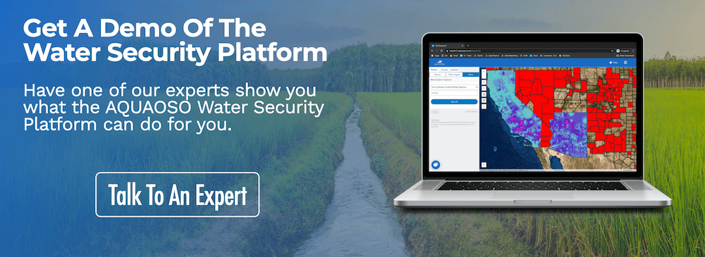
Contact the team at AQUAOSO to find out more about the use of geospatial data in agriculture, or download a free white paper or e-book to learn more.
Recent Posts
Agcor and AgWare Celebrate 2 Years of Groundbreaking Integration, Setting the Standard in Agricultural Appraisal Efficiency
PRESS RELEASE For Immediate Release DENVER, March 21, 2024 -- Agcor, an AQUAOSO Technologies, PBC brand, a leading provider of agricultural lending software solutions, announces a significant milestone in its partnership with AgWare, a premier developer of innovative...
AQUAOSO launches Agcor – a full suite of digital tools for the modern ag lender.
PRESS RELEASE For Immediate Release Denver, CO - Today, AQUAOSO Technologies, PBC officially unveiled Agcor™ - a suite of software tools for the modern ag lender. The software is purpose-built by and for agricultural lenders to unlock the power of...
AQUAOSO’s Climate Intelligence Platform Showcased At OnRamp Conference
PRESS RELEASE For Immediate Release AQUAOSO showcases GIS Connect, a climate intelligence platform that helps US financial institutions mitigate climate risk during the recent OnRamp Agriculture conference. AQUAOSO shares their story of substantial growth as...