SaaS GIS as a Risk Mitigation and Reporting Tool for Ag Lenders
Developing and implementing an in-house GIS system, however, can be time-consuming and expensive, which is why many institutions prefer a SaaS (Software-as-a-Service) model.
SaaS GIS tools allow organizations to use GIS technology on a subscription basis while being able to share data with stakeholders in a cloud-based format.
This article will look at the benefits of SaaS GIS, and how institutions can use it as a tool to meet ESG reporting requirements and mitigate business risks.
What Is SaaS GIS?
SaaS stands for Software-as-a-Service, and it refers to cloud-based platforms that are licensed for use from a third party, rather than hosted and maintained in-house. Many organizations already use SaaS tools that can be accessed from a web browser or a smartphone app, such as cloud accounting software or CRM systems.
The primary appeal of SaaS is that it doesn’t require investing in in-house hardware, and users can rely on the vendor to handle maintenance and updates. Also, because everything is hosted in the cloud, it’s ideal for remote teams that need to collaborate from a distance while having access to the same tools and information.
These qualities make it a natural fit for GIS software. GIS tools are being used by financial institutions more often as digitization becomes increasingly popular.
This technology is also an effective way to work toward truthfully understanding and mitigating climate risk. For example, ag bankers can use GIS technology to assess the water risk of a particular region or parcel of farmland before investing in it.
Previously, ag professionals would have had to rely on tedious research or expensive consultants to gather the information they needed – and some stakeholders may not have had access to these resources at all.
With SaaS GIS, collaboration opportunities can be built into the platform; users can view data from multiple sources in one place, and easily share it with other stakeholders for real-time analysis, reporting, and collaborative risk mitigation strategies.
A prime example of this is the utilization of SaaS GIS in strengthening the relationships between ag lenders and borrowers. By bringing both parties onto the same page, water risk mitigation strategies can be planned and implemented to reduce financial risk in portfolios.
How to Use SaaS GIS for Risk Mitigation
Regulators are putting pressure on businesses to adopt strict ESG goals and climate-related disclosures. Those that don’t have a risk mitigation strategy in place, taking into account all three types of capital, will be especially vulnerable to physical risks, transition risks, and changing marketplace expectations.
The best way to address these risks is by establishing a single source of truth and using data as a common ground to work with stakeholders, through internal efforts, external relationships, and throughout supply chains.
Ag lenders may find it difficult to foster sustainable water practices without developing stronger relationships with borrowers. Only through a confluence of forces will stakeholders – including ag lenders – find the most effective route to water security.
SaaS GIS can be a driving force in that process, due to its function as a cloud-based, quick-to-access, customizable, digital data provider. Ag professionals can share reports from real-time, purpose-driven data sources.
Because GIS data is so customizable, it can also be incorporated into ESG reporting practices, giving businesses a head start as more stringent regulations are rolled out.
Stakeholders at all levels can use this data to make better financial decisions.
SaaS GIS also grants fewer up-front costs and training to consider than alternatives. The vendor is responsible for maintaining the software and incorporating new tools and technologies.
Most importantly, a digital SaaS platform is ideal for the free exchange of information – both within the company and when dealing with external partners and supply chains. It’s this fluidity that allows all stakeholders to get on the same page in order to identify and mitigate water and climate risk.
In agriculture, for example, lenders can use SaaS GIS to identify concentrations of risk in specific groundwater basins or irrigation districts. They can be used to assist with new customer acquisition, geographic expansion, ESG reporting, and more.
With the right tools, stakeholders can mitigate water and risk through targeted mitigation strategies across their portfolios and contribute to a more sustainable, water-resilient agricultural system.
The Bottom Line
SaaS GIS tools are an efficient way to assess the water and climate risks of a lending or investment portfolio and collaborate with other stakeholders from a digital, subscription-based format. Just like with other SaaS tools – such as CRMs and accounting software – GIS users can pay a licensing fee to access purpose-built cloud-based software and avoid the expense of building an in-house system or hiring expensive external consultants.
Not only can SaaS GIS tools help ag professionals make better financial decisions, but they can also help empower other stakeholders to play a part in reducing water and climate risk in agriculture.
By working together from a shared source of truth, it’s easier for a diverse group of stakeholders to make decisions that benefit all parties while protecting the agricultural economy.
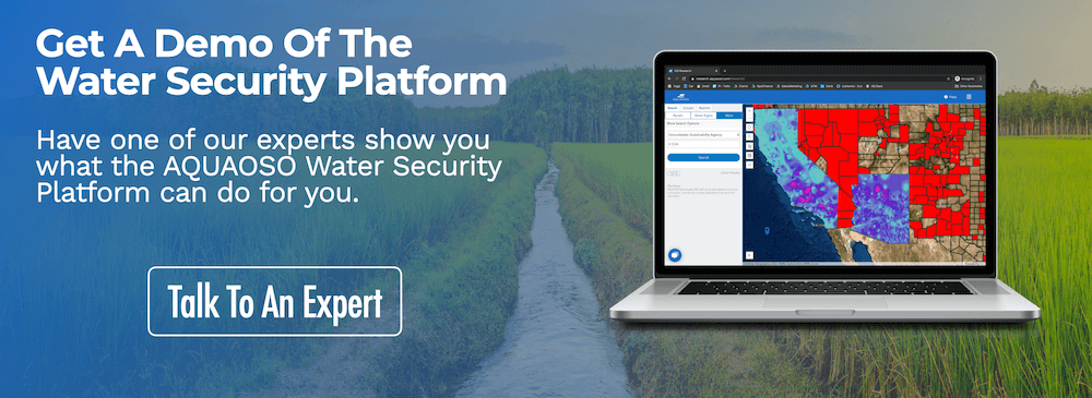
AQUAOSO is focused on building a water-resilient future through advanced technologies. Reach out to the team for a free demo of the platform, or browse the resources page to learn more about GIS in agriculture and other topics.
Recent Posts
Sustainable Agriculture Practices That Need Financial Capital
In late 2021, world leaders gathered in Glasgow for COP26, better known as the UN’s climate change conference. With over 25,000 attendees meeting to discuss the efforts needed to address climate change, themes of sustainability, renewable energy and the reduction of...
2022 Sustainable Agriculture Trends for Ag Finance to Be Aware of
With real-world impacts like rising global temperatures, climate change is one of the biggest risk factors agriculture faces today. NOAA reported that 2020 was the second warmest year and the EPA explains a consistent increase of 0.16°F in average surface temperature...
Crucial Ways Agricultural Bank Services Can Contribute to A Sustainable Ag Economy
Ag banks and Farm Credits, enable agribusinesses to attain the financing they need in order to execute functions like harvesting and planting, as well as buying new equipment and combat overhead costs. They allow farmers to operate by engaging in a relationship with...


